The view from the sky fascinates
Looking for a way to see familiar things from a new perspective? I am.
That is why I love flying drones – and my passion became my work.
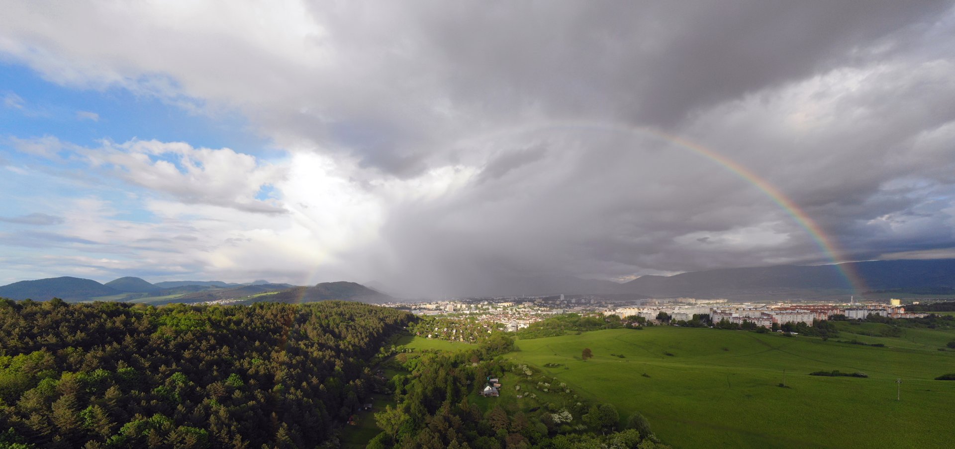
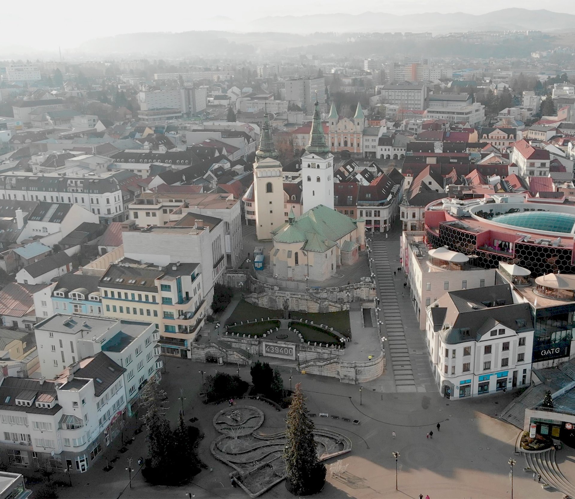
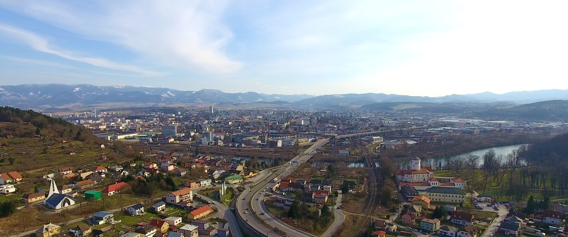
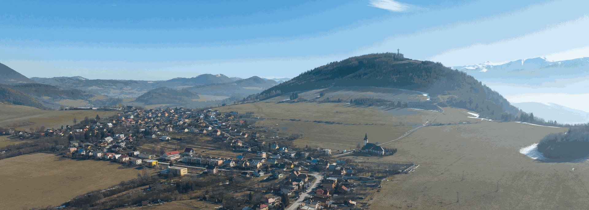
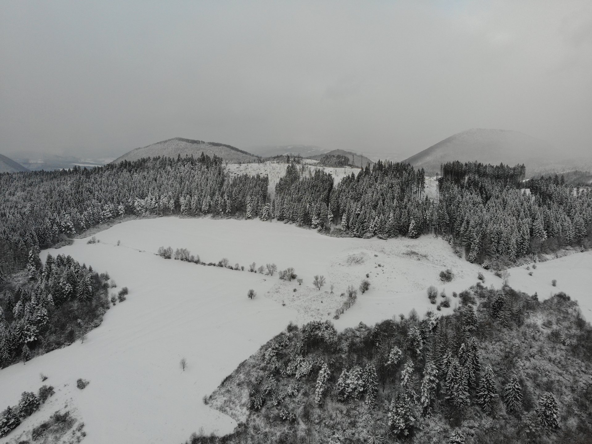
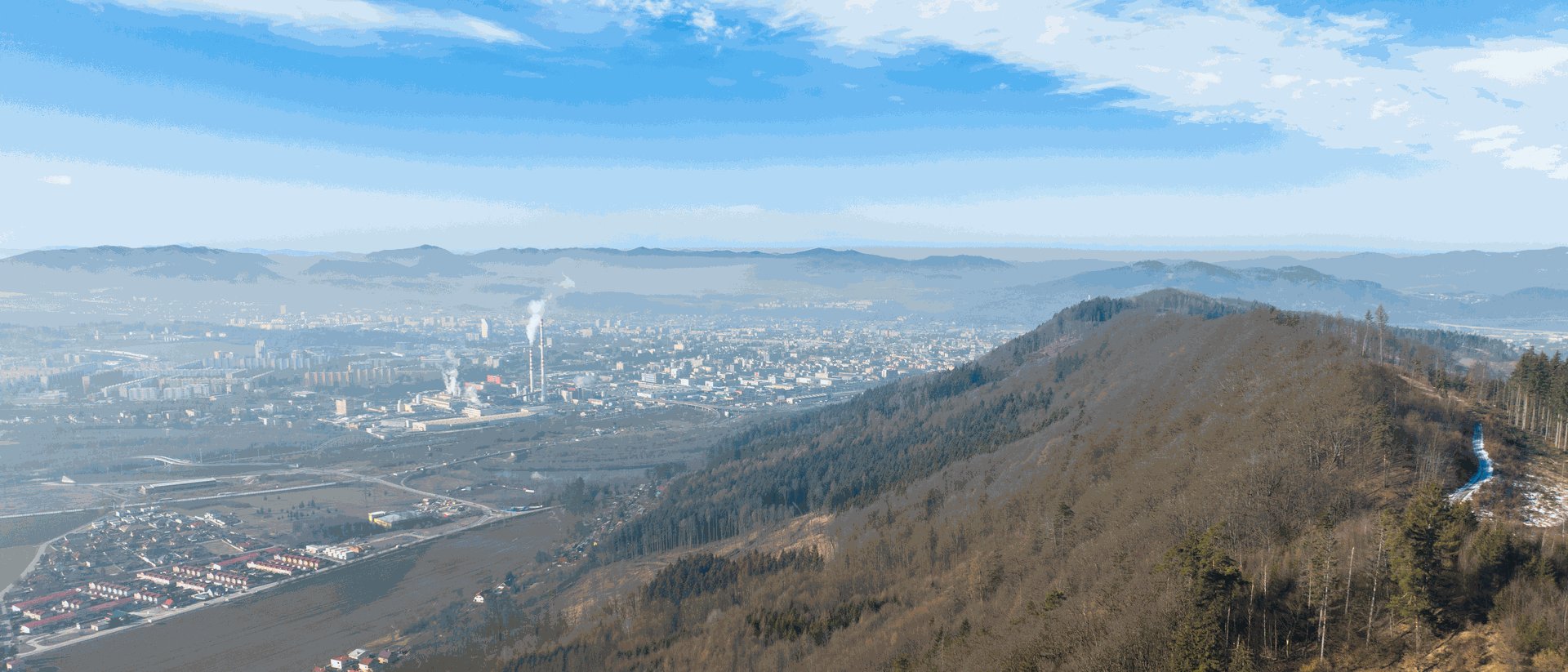
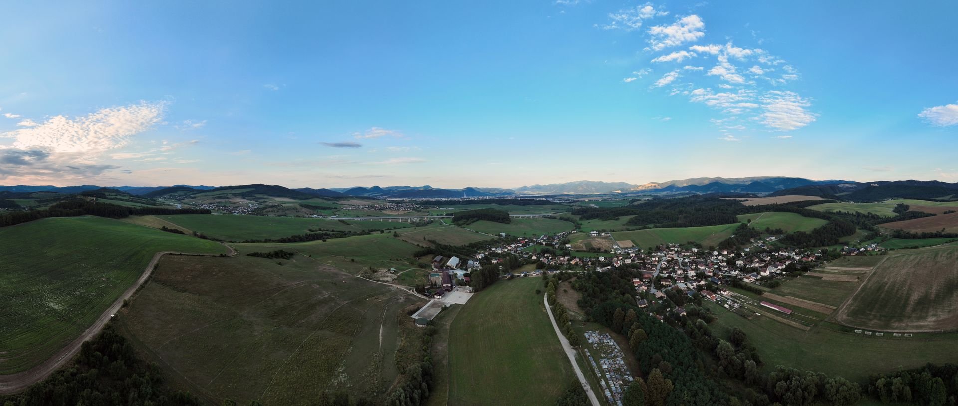
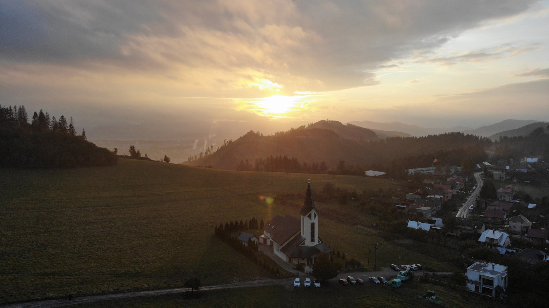
Photo and video
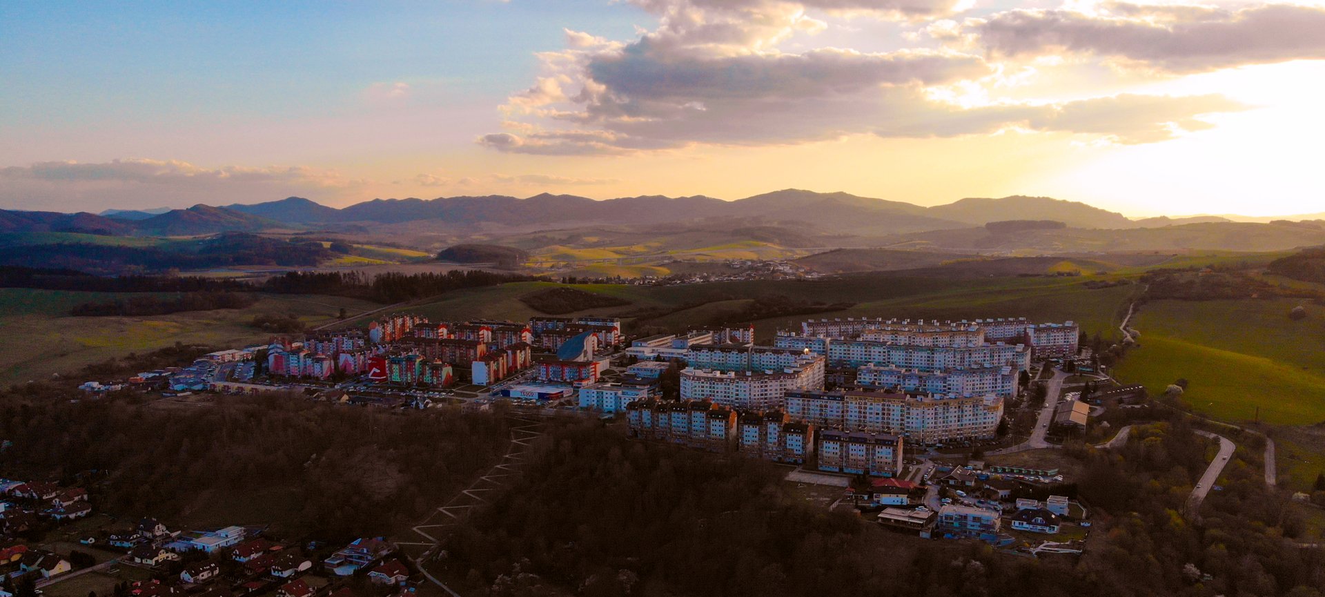
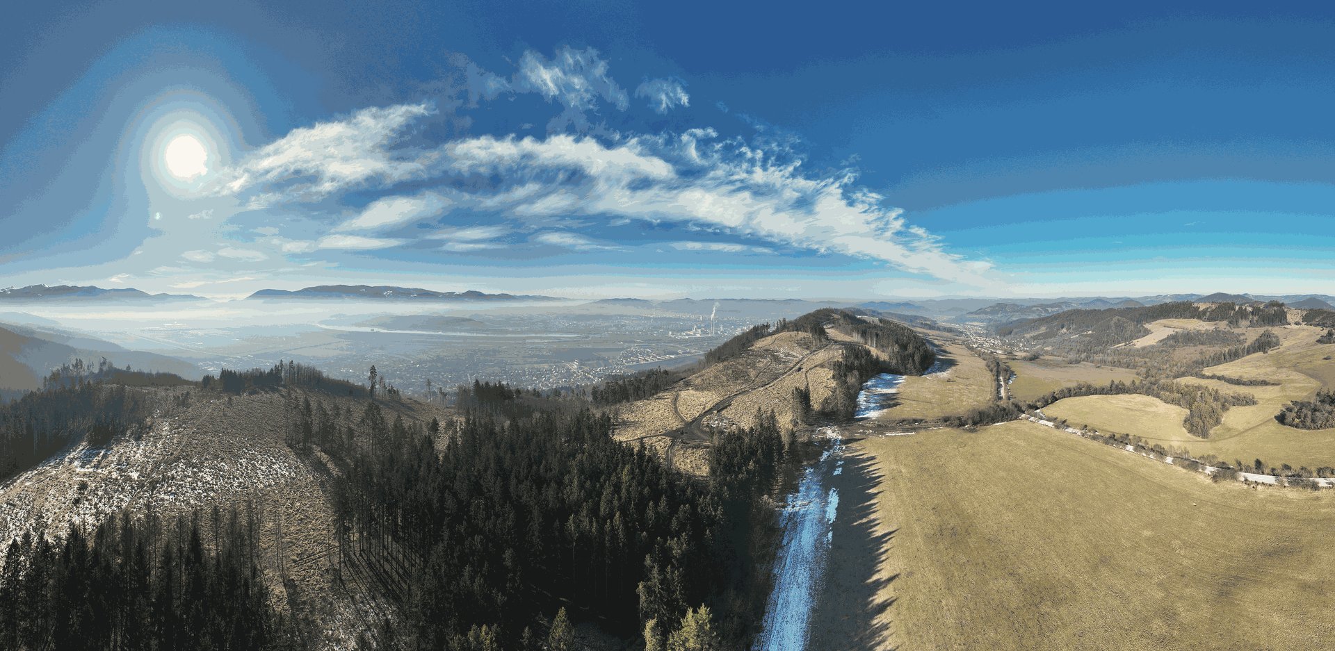
I try to put an artistic spirit into every photo and video that carries our brand. Not ordinary and run-of-the-mill – a different angle, a different play of colours, unseen and above all beautiful.
Events, real estate, construction and chimney inspections, thermal imaging or searching – we fly with DJI Phantom 4 and DJI Mavic 2 Enterprise Dual (FLIR thermal camera).
How we fly
Certified UAV pilot, registered operator and insured flights.
Safety first
Every flight is planned, permissions are arranged in advance and everyone on site knows the safety rules.
The pilot is always visible
In a high-visibility vest, in contact with your appointed person over PTT radio.
Communication is key
We go through every planned flight with you before the event – for a good result.
The pilot has the last word
The pilot is responsible for the flight, so he decides whether it takes place. Please respect it.
Maps and terrain models
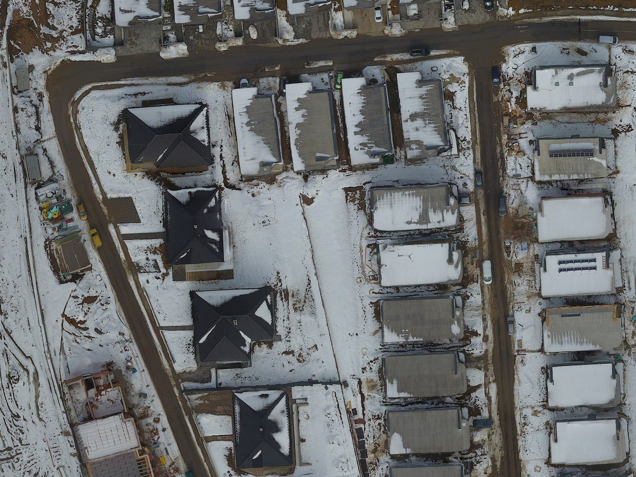
Besides photos and videos we process aerial data into orthophoto maps, digital terrain models and vegetation analyses – for developers, construction sites and land owners.
Scope and output formats by agreement.
Do you have questions?
Write to us – order at least 4 weeks in advance, we confirm within 48 hours.